

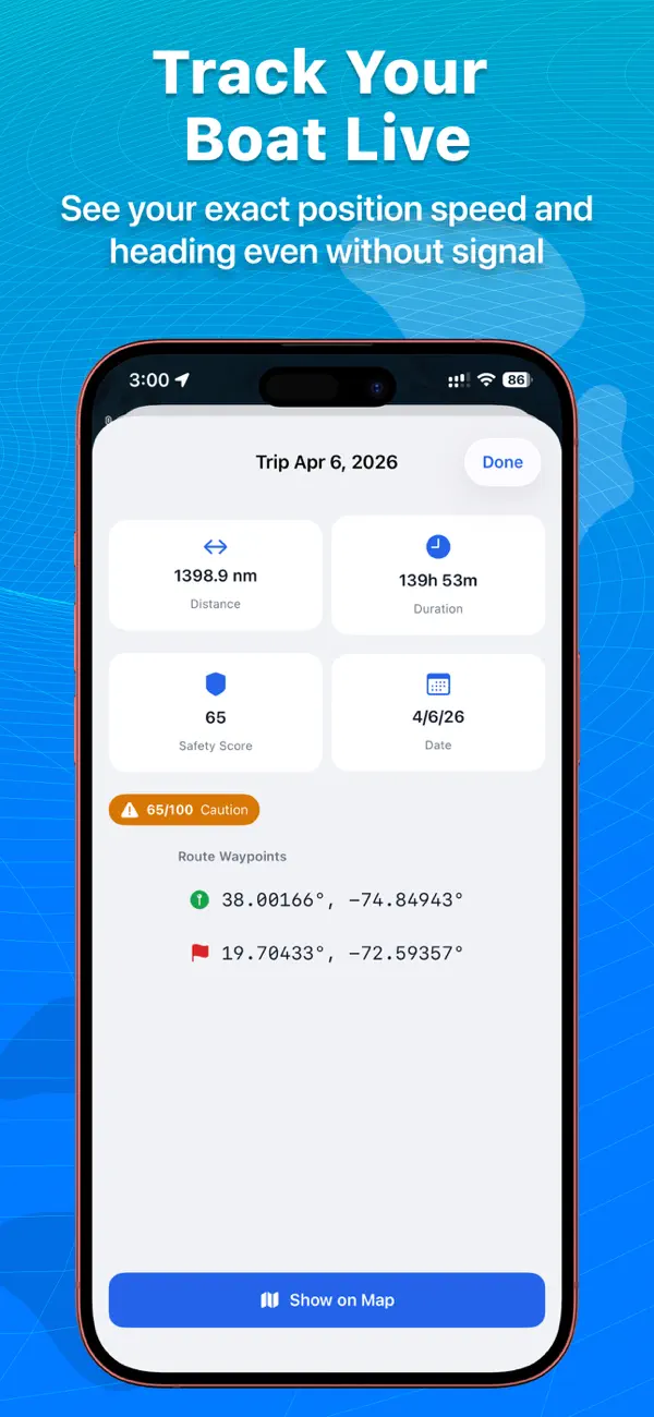
A route you can assess before leaving the dock
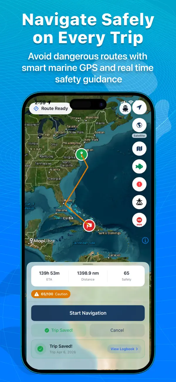
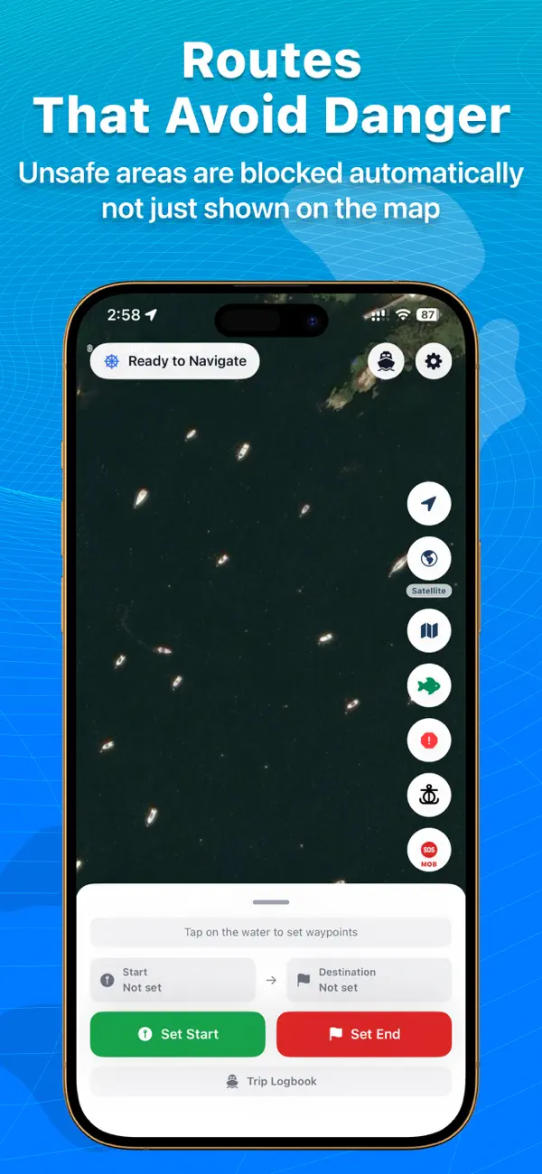
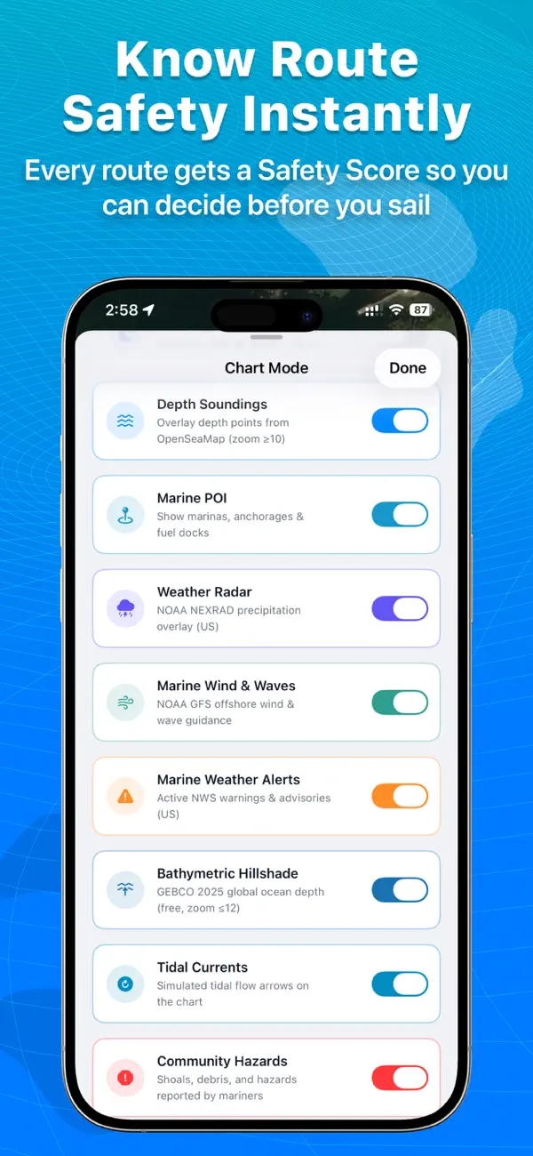
Each route gets a Safety Score. Depth-based routing colors sections as safe, caution or danger, and dangerous areas are blocked instead of merely flagged.
Charts that do not need a signal
Download nautical charts once and use them offline, with depth contours, seabed data, buoys, beacons and hazard markers in day, night and satellite modes.
On the water
Track position, heading and speed in real time without internet. An anchor alarm detects drift, and man-overboard navigation is available in an emergency.
Conditions at sea change quickly. Use this app alongside official charts, notices and proper seamanship.